To download the whole document (with the pictures):
http://www.wikiupload.com/download_page.php?id=149240
Isthmus
A narrow strip of land connecting two larger land areas
http://i122.photobucket.com/albums/o269/wendy3212/isthmus.jpg
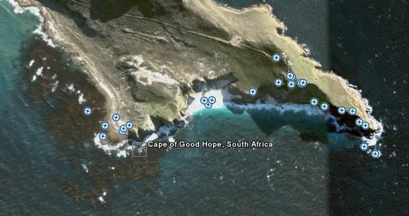
Cape
a pont or extension of land jutting out into water as a peninsula or as a projecting point
http://i122.photobucket.com/albums/o269/wendy3212/cape.jpg
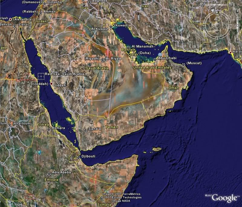
a portion of land nearly surrounded by water and connected with a larger body by an isthmus;
a piece of land jutting out into the water whether with or without a well-defined isthmus
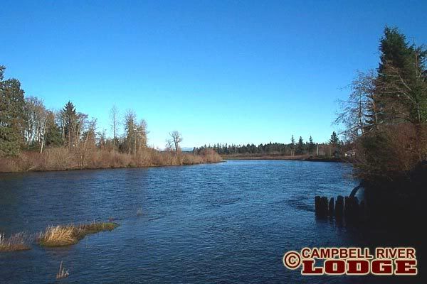
River
A natural waterway
http://i122.photobucket.com/albums/o269/wendy3212/river.jpg
Sea
a large expanse of
http://i122.photobucket.com/albums/o269/wendy3212/sea.jpg
Ocean
the whole body of salt water that covers nearly three fourths of the surface of the earth
http://i122.photobucket.com/albums/o269/wendy3212/ocean.jpg
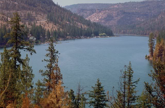
Lake
a body of water or other liquid of considerable size contained on a body of land.
http://i122.photobucket.com/albums/o269/wendy3212/lake.jpg
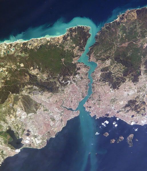
Straight
a narrow passage of water connecting two large bodies of water.
http://i122.photobucket.com/albums/o269/wendy3212/straight.jpg
Gulf
A gulf is a part of the ocean (or sea) that is partly surrounded by land (it is usually larger than a bay).
http://i122.photobucket.com/albums/o269/wendy3212/gulf.jpg
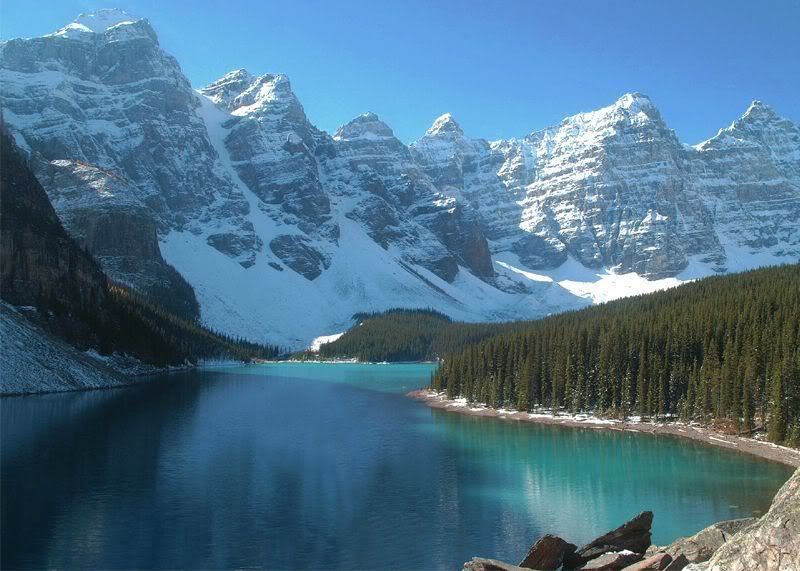
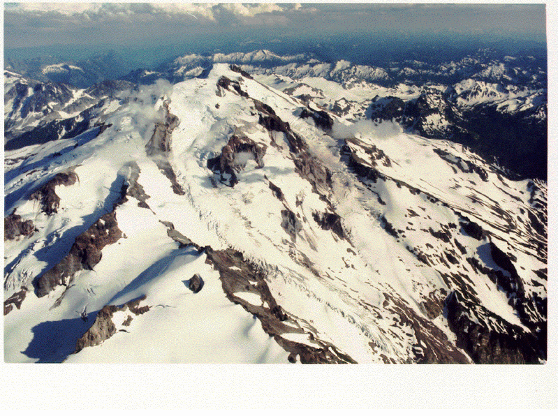
Mountain Range
group of
http://i122.photobucket.com/albums/o269/wendy3212/mountainrange.jpg
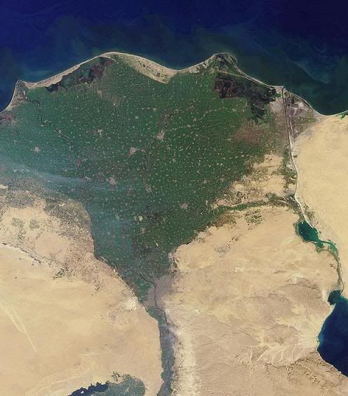
Delta
low, watery land formed at the mouth of a river. It is formed from the silt, sand and small rocks that flow downstream in the river and are deposited in the delta. A delta is often (but not always) shaped like a triangle.
http://i122.photobucket.com/albums/o269/wendy3212/delta.jpg
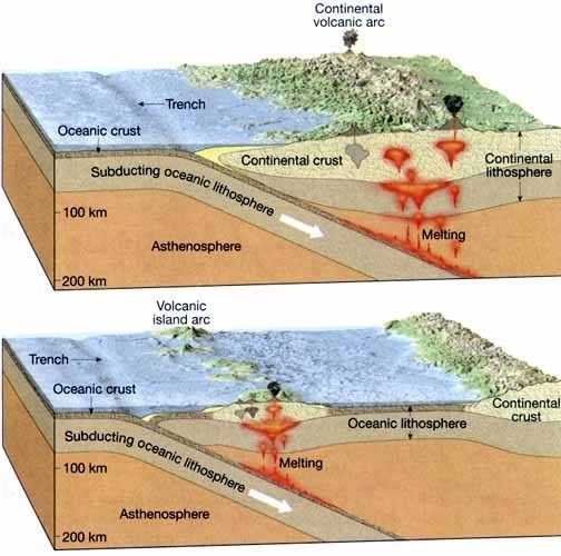
Deep sea trench
hemispheric-scale long but narrow topographic depressions of the sea floor / the deepest parts of the ocean floor.
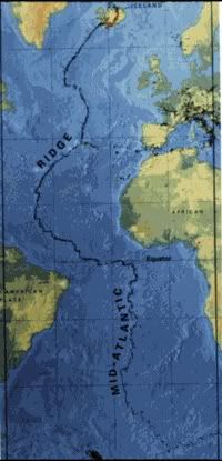
Mid Atlantic ridge
is an underwater
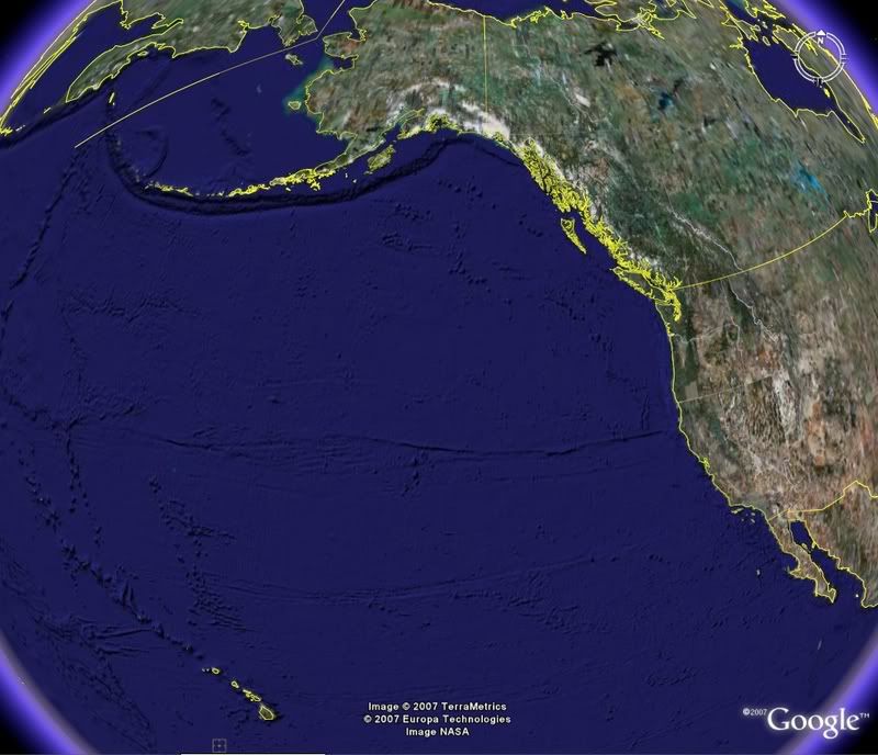
a piece of land that is surrounded by water.
http://i122.photobucket.com/albums/o269/wendy3212/island.jpg
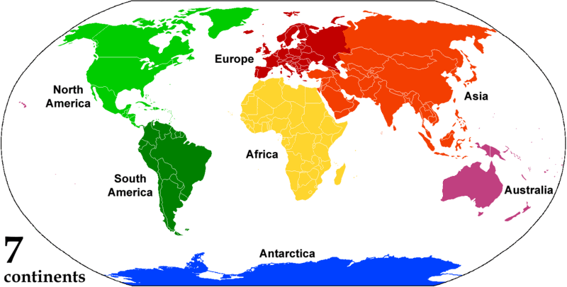
Continent
one of several large landmasses on Earth.
http://i122.photobucket.com/albums/o269/wendy3212/continents.gif
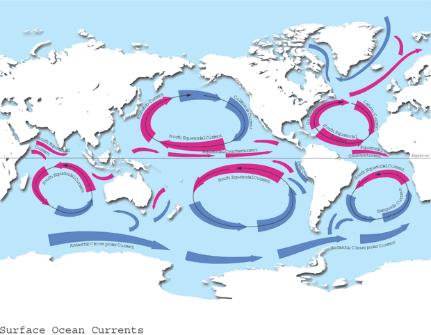
Ocean Current
continuous, directed movement of ocean water that flows in one of the Earth's oceans.
http://i122.photobucket.com/albums/o269/wendy3212/current.gif
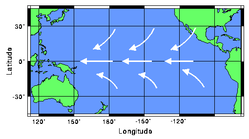
Trade winds
a pattern of
http://i122.photobucket.com/albums/o269/wendy3212/tradewinds.gif
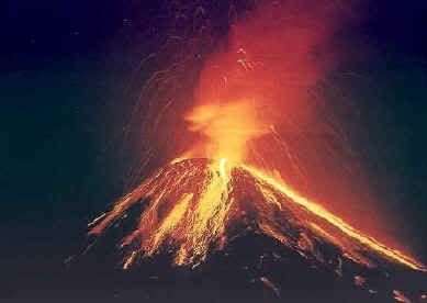
Volcano
a mountainous vent in the Earth's crust. When a volcano erupts, it spews out lava, ashes, and hot gases from deep inside the Earth.
http://i122.photobucket.com/albums/o269/wendy3212/volcano.jpg
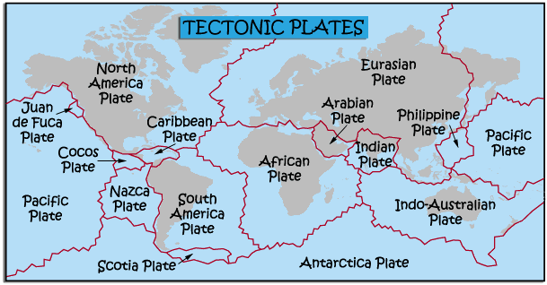
Tectonic plate
a massive, irregularly shaped slab of solid rock, generally composed of both continental and oceanic lithosphere
http://i122.photobucket.com/albums/o269/wendy3212/tectonicplates.gif
Glacier
a large, slow moving river of ice,
http://i122.photobucket.com/albums/o269/wendy3212/glacier.gif
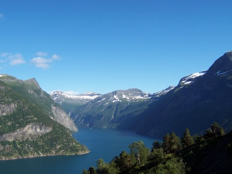
Fjord
very long inlets from the sea with high steeply sloped walled sides.
http://i122.photobucket.com/albums/o269/wendy3212/fiord.jpg
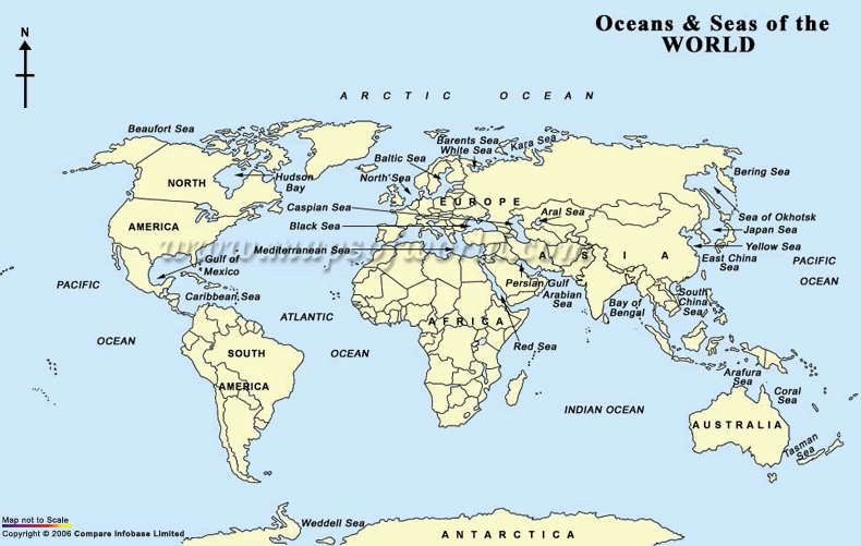
Locate and label all of the world’s seas and oceans.
http://i122.photobucket.com/albums/o269/wendy3212/oceansseas.gif
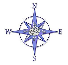
Compass Rose
a figure displaying the orientation of the cardinal directions
http://i122.photobucket.com/albums/o269/wendy3212/compass.jpg
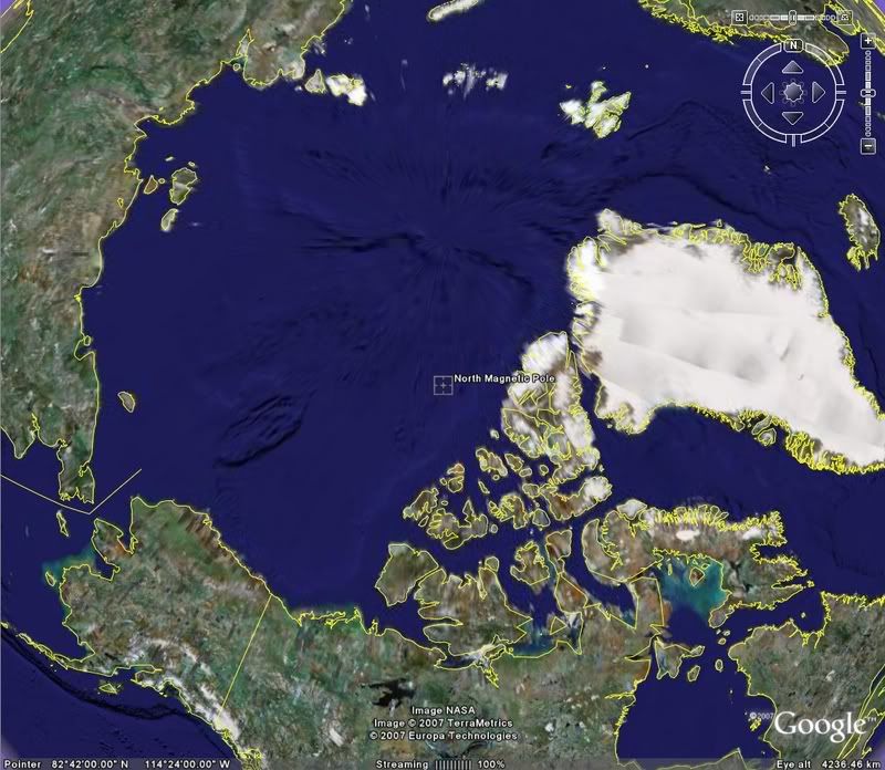
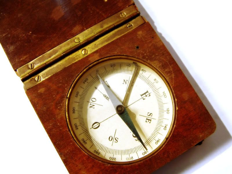
Magnetic compass
a navigational instrument for finding directions on the earth. It consists of a magnetized pointer free to align itself accurately with Earth's Magnetic Field.
http://i122.photobucket.com/albums/o269/wendy3212/compass2.jpg
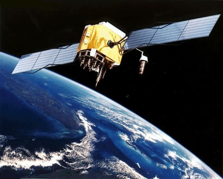
Global positioning system
the only fully functional Global Navigation Satellite System (GNSS). Utilizing a constellation of at least 24 medium Earth orbit satellites that transmit precise radio signals, the system enables a GPS receiver to determine its location, speed and direction.
http://i122.photobucket.com/albums/o269/wendy3212/globalpositioning.jpg
Google Earth Geographical Features
Sunday, May 20, 2007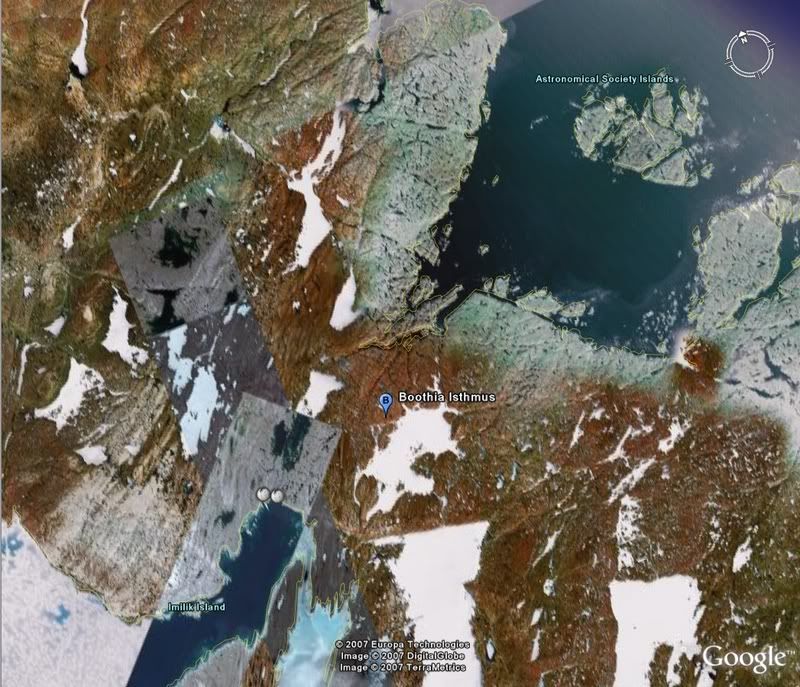
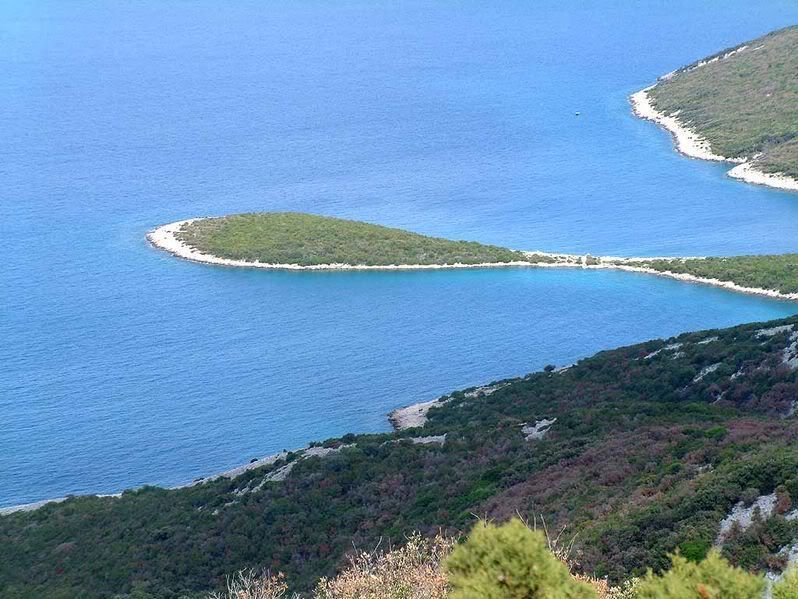
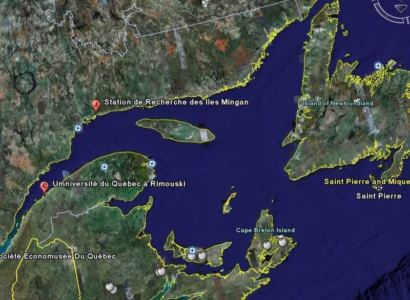
Peninsula
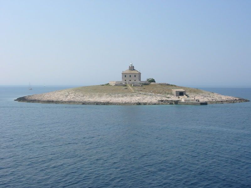
Island
Posted by Anonymous at 11:42 am
Labels: Grade Eight, Social Studies